FencelineData.org, an online tool that allows the public to easily search for information on industrial polluters, has added 10 years of environmental data, new mapping capabilities and training opportunities as part of its next phase of development.
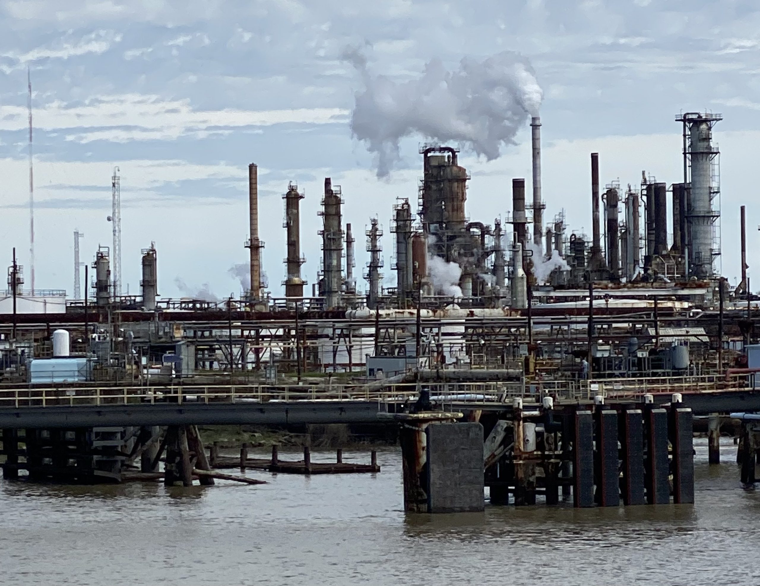
Public Health Watch and three partners launched FencelineData in 2024 to help community members, journalists and researchers hold polluters accountable and better understand environmental and public health risks. According to the U.S. Environmental Protection Agency, about 131 million people live within three miles of industrial facilities at risk for chemical accidents.
Last year, FencelineData developers began archiving vital EPA datasets amid efforts to remove information from federal websites. Users can now access facility-level data on toxic chemical and greenhouse gas emissions from 2015 to 2024. Later updates will provide enforcement data as far back as 1987.
The tool, which was produced with DataKind, Until Justice Data Partners and Material Research L3C, also introduced interactive maps showing facility locations and ZIP code boundaries, making it easier to identify communities overburdened with industrial pollution.
A webinar last month showed environmental justice communities how to use FencelineData to better understand the health and safety risks from polluters that release dangerous chemicals and contribute to climate change. A webinar on June 24 will show journalists how to use the tool to find complementary data points for breaking-news stories and more complex insights for longer-term investigations. Other training materials, including step-by-step videos on specific features, will be available later this year.
Users can sign up for the FencelineData newsletter to stay informed on technical updates, training opportunities and partner tools, including the Toxic Industries Database, which hosts data from several other EPA databases.